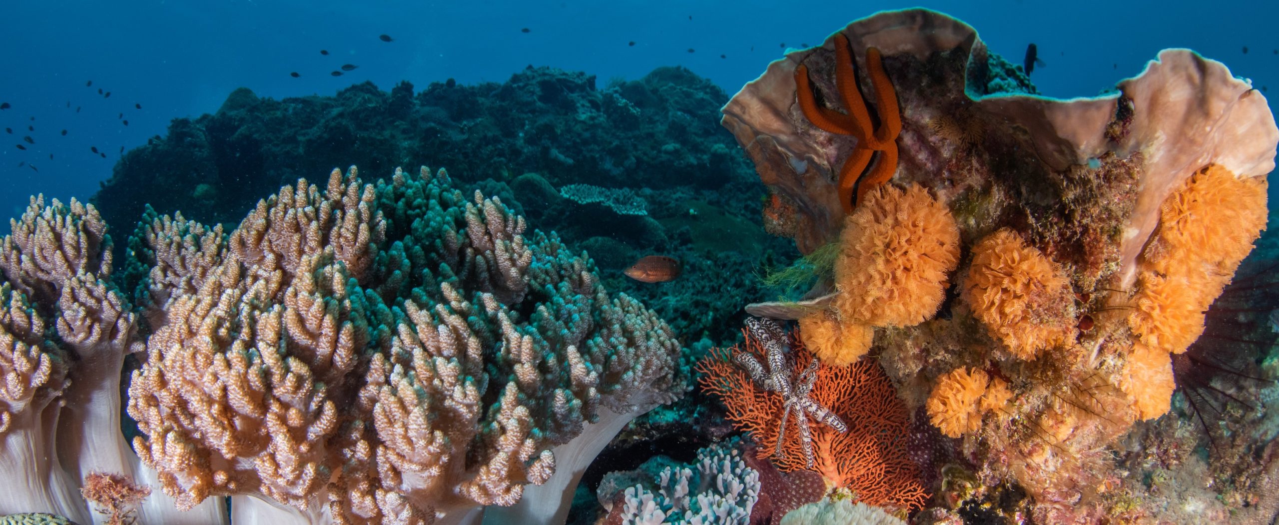
How much biodiversity do coastal seas hold now, how is it changing, and why is that important to us? The Smithsonian’s Marine Global Earth Observatory (MarineGEO) is tackling these questions by implementing the first long-term, worldwide research effort that focuses on the land-sea interface and the role coastal marine life plays in maintaining resilient ecosystems around the world. The program aims to develop the first comprehensive database on biodiversity and physical characteristics of coastal marine environments, making new scientific discoveries possible and informing sustainability and restoration decisions. MarineGEO is utilizing diverse disciplines and methods to create the first integrated approach to understand our changing coastal ecosystems, the most concentrated areas of human and marine life interactions. Partnering with Reef Life Survey will allow MarineGEO to leverage the vast data and experience accumulated by RLS, while contributing to the RLS database and increasing the resolution of RLS surveys on a global scale.
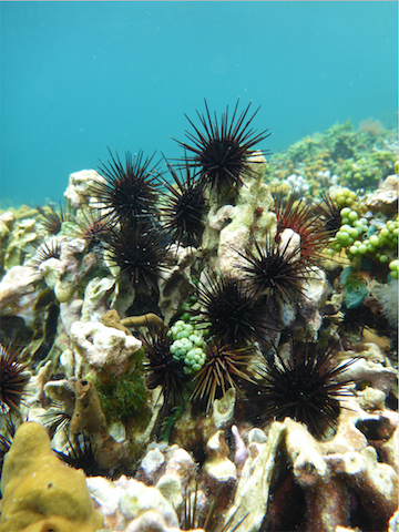
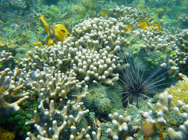
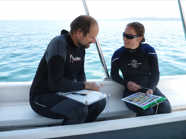
It is this shared goal of measuring the diversity of marine organisms on a global scale that makes MarineGEO excited to be partnering with RLS. This partnership creates opportunities for the exchange of ideas and findings between researchers around the world, expanding our knowledge of coastal biodiversity. Since the initiation of this partnership, five MarineGEO researchers from three different research stations around the Americas have been trained in RLS methods and have since performed surveys in which fish and bottom-dwelling organisms were identified and counted using the RLS methodology. These surveys have been conducted at nine sites in Bocas del Toro, Panama with upcoming surveys planned in Belize and Florida.
The RLS protocol will be a critical component in standardizing MarineGEO observations, creating a way for researchers to quantify and track changes in marine life in a non-destructive manner. So far, MarineGEO has used the RLS methods to survey a variety of communities, from reefs to fish assemblages associated with human built habitats like docks. The partnership between MarineGEO and RLS is not only contributing to the first comprehensive global database of marine biodiversity and physical characteristics, but will catalyze future research on coastal marine ecosystems.
For more information on MarineGEO, please visit www.marinegeo.si.edu
Follow MarineGEO on Twitter @SImarineGEO and on Facebook